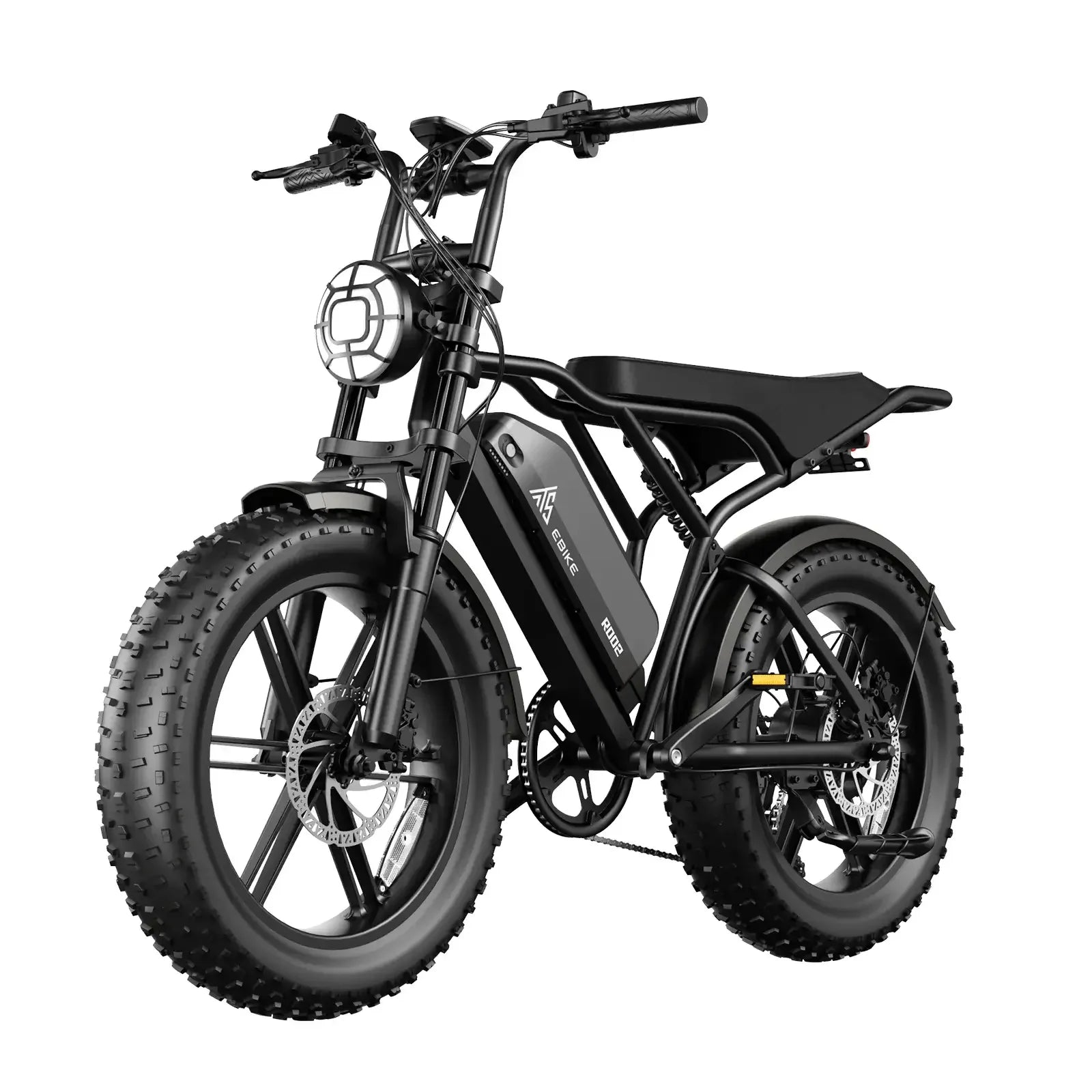
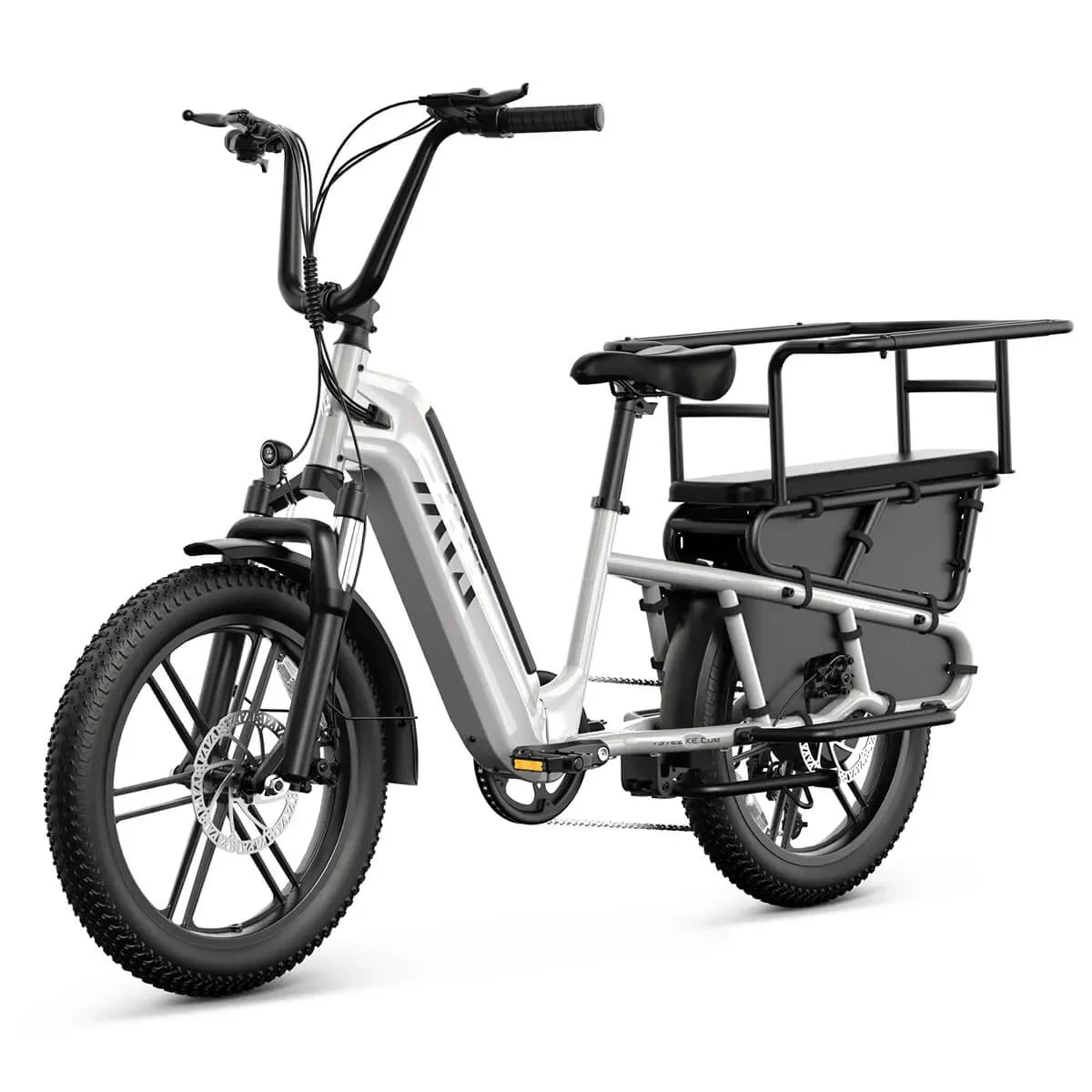
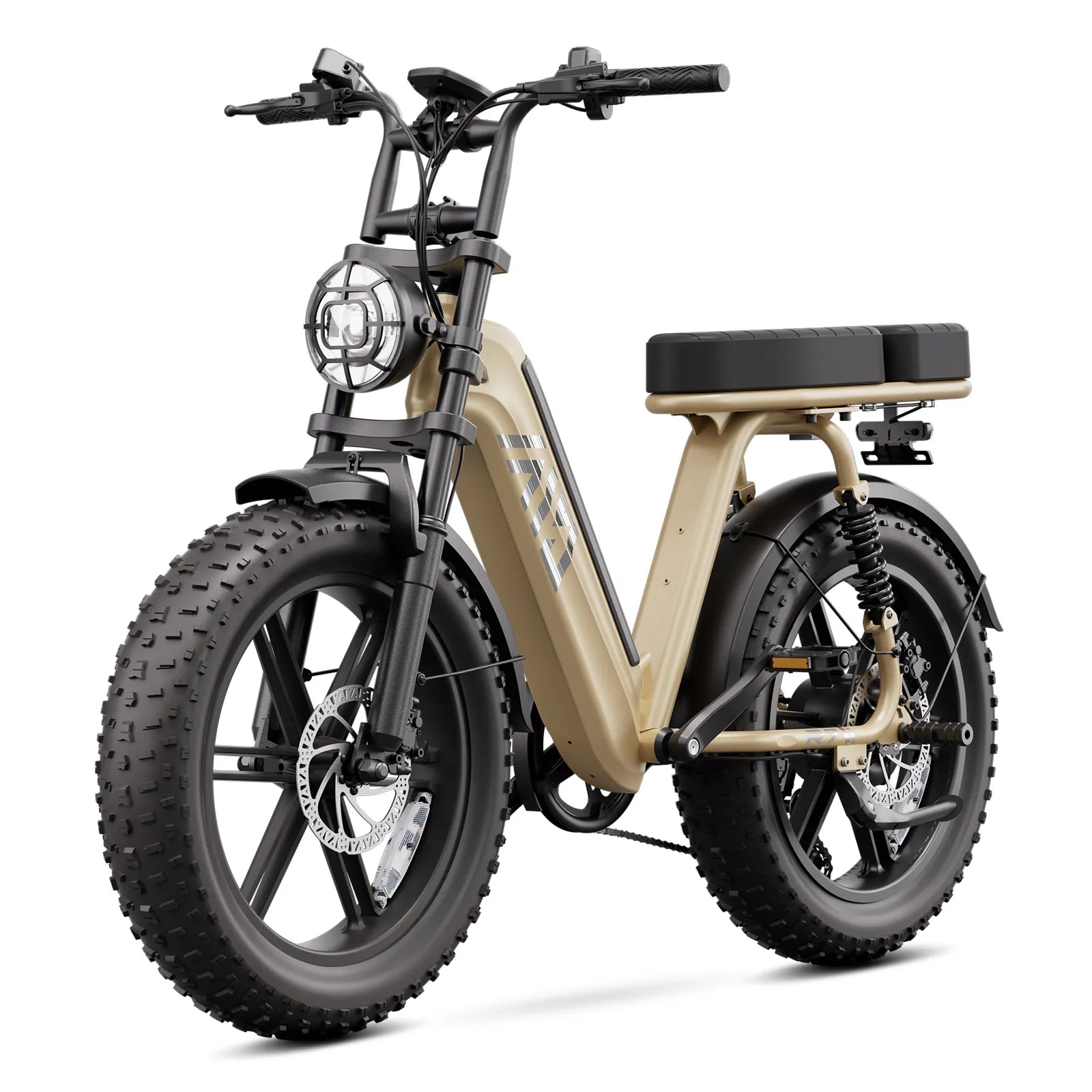
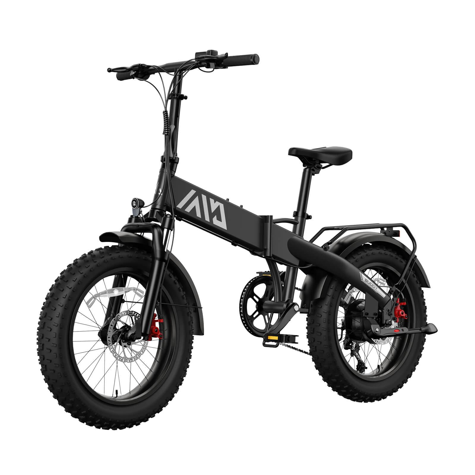
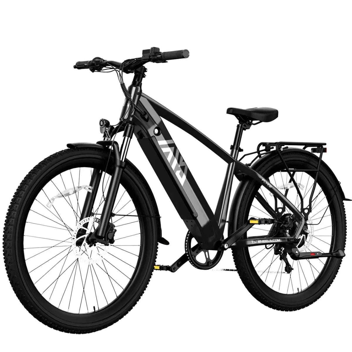
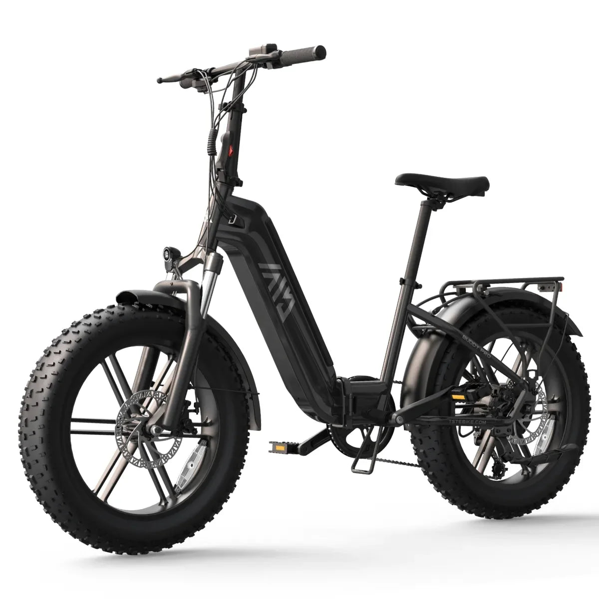
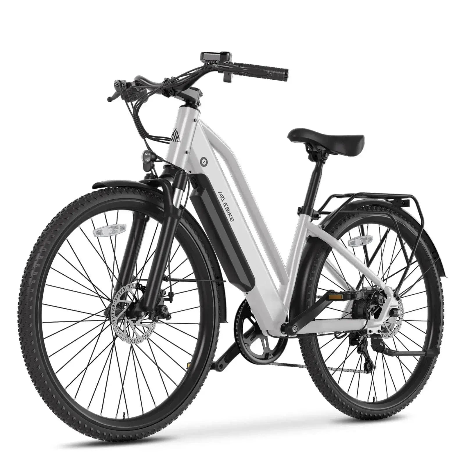
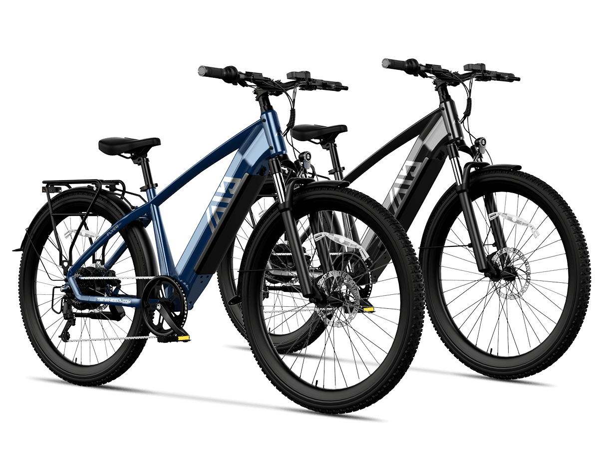
Enjoying fall foliage on an e-bike offers a unique way to experience vibrant autumn colors while covering more ground effortlessly. The top five scenic e-bike routes across the U.S. include diverse landscapes from New England’s maple-lined roads to California’s alpine lakes, each providing breathtaking views and e-bike-friendly trails. Models like TST EBike’s 26-inch and 27-inch are perfect companions for these routes, handling varied terrain with ease. What's the weight capacity of these bikes?
Which Fall Foliage Route in New England Offers the Best Scenic Experience?
The New England route from western Maine to eastern New Hampshire spans 44 miles round trip, ideal for early October leaf-peeping. Starting in Bethel, riders traverse paved roads alongside the Androscoggin River, culminating in panoramic views at Evans Notch, a 1,700-foot mountain pass. This route combines gentle climbs with stunning vistas of red and orange foliage, perfect for riders seeking classic autumn scenery.
What Makes the Natchez Trace Parkway a Unique Fall E-Bike Destination?
Stretching 444 miles through Tennessee, Alabama, and Mississippi, the Natchez Trace Parkway showcases a continuous display of fall colors from mid-October to early November. Its car-free, paved parkway offers safe, peaceful riding with historic sites and natural beauty. Suggested rides include a manageable 32-mile stretch with scenic lakes and forest views, ideal for leisurely exploration and leaf-peeping.
How Does the Lake Tahoe East Shore Trail Combine Fall Colors with Alpine Beauty?
The 24-mile loop around June Lake, near Lake Tahoe, features rugged granite canyons, glacial lakes, and golden aspen groves. Known as the “Switzerland of California,” this trail offers a mix of paved and dirt paths suitable for e-bikes. Peak fall colors appear from mid-October to early November, making it a must-ride for nature lovers seeking alpine autumn splendor.
Which Other Notable Fall E-Bike Routes Across the U.S. Should Riders Explore?
Notable fall e-bike routes across the U.S. include the Blue Ridge Parkway in Virginia and North Carolina, famous for stunning autumn foliage. The Kancamagus Highway in New Hampshire offers scenic forest views perfect for fall rides. California’s Sonoma County wine country provides picturesque routes with mild weather. The Columbia River Gorge in Oregon offers waterfalls and vibrant fall colors. These routes combine beautiful landscapes with manageable terrain, ideal for memorable fall e-bike adventures.
- Erie Canalway Trail (New York): A 32-mile paved path with historic locks and river views, best in late October.
- Prairie Spirit Trail (Kansas): A 51-mile flat trail through rolling hills and wildflowers, ideal for calm, scenic rides.
These routes offer diverse fall foliage experiences, from the Northeast’s colorful forests to the Midwest’s peaceful pastures.
Fall Foliage Route Comparison Chart
| Route | Location | Length (miles) | Best Time to Visit | Terrain Type |
|---|---|---|---|---|
| New England | Maine to New Hampshire | 44 | Early October | Paved, rural |
| Natchez Trace Parkway | TN, AL, MS | 32 (recommended) | Late Oct - Early Nov | Paved parkway |
| Lake Tahoe East Shore | California | 24 | Mid-Oct to Nov | Mixed paved/dirt |
| Erie Canalway Trail | New York | 32 | Late October | Paved |
| Prairie Spirit Trail | Kansas | 51 | October | Mostly flat, paved |
How Do TST EBike Models Enhance Your Fall Foliage Rides?
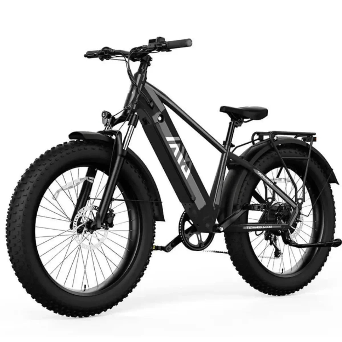
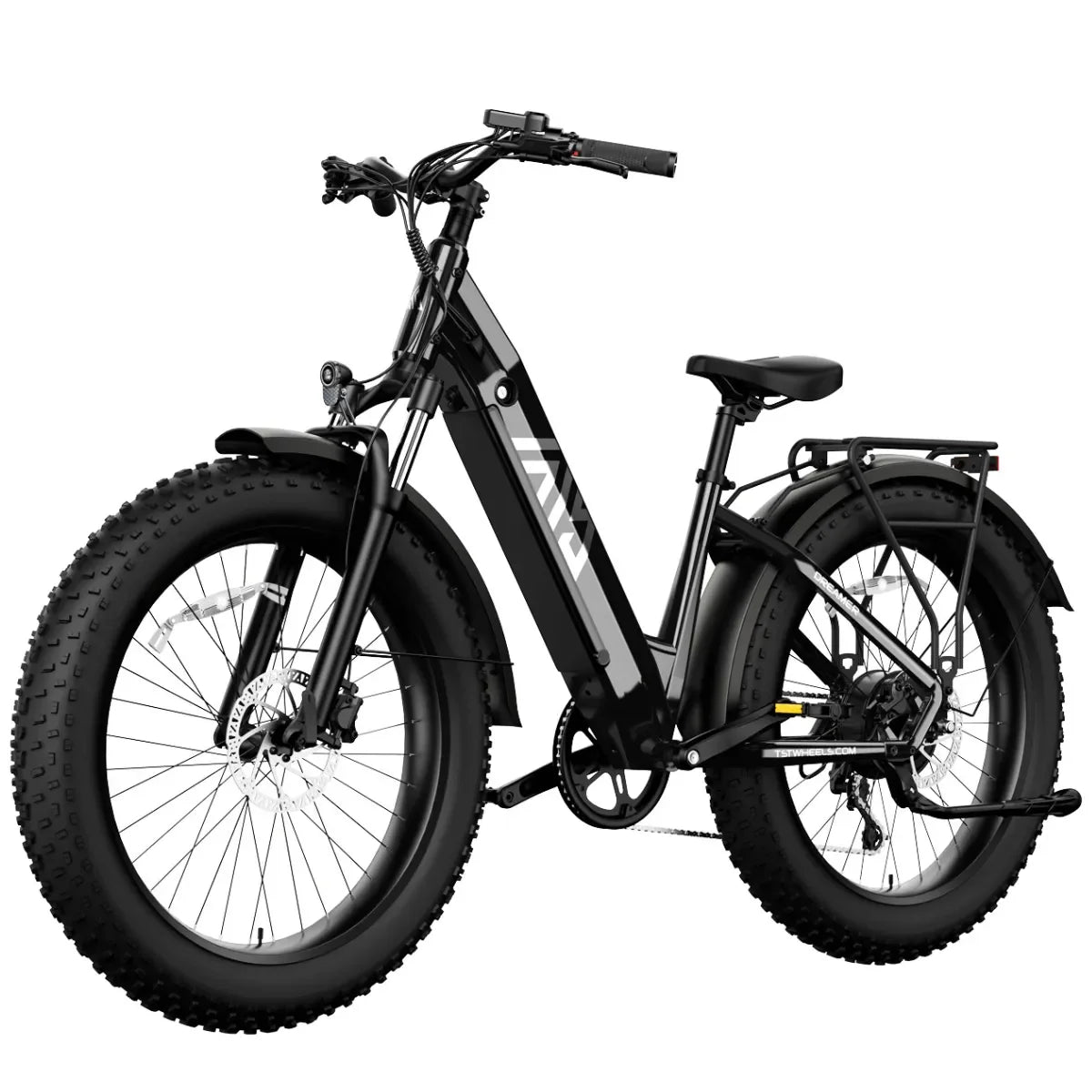
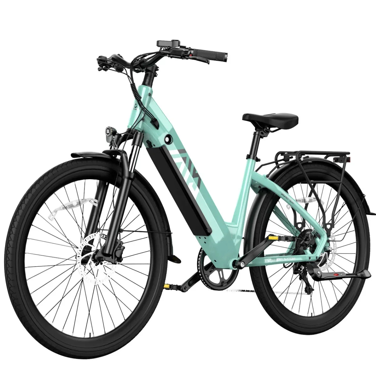
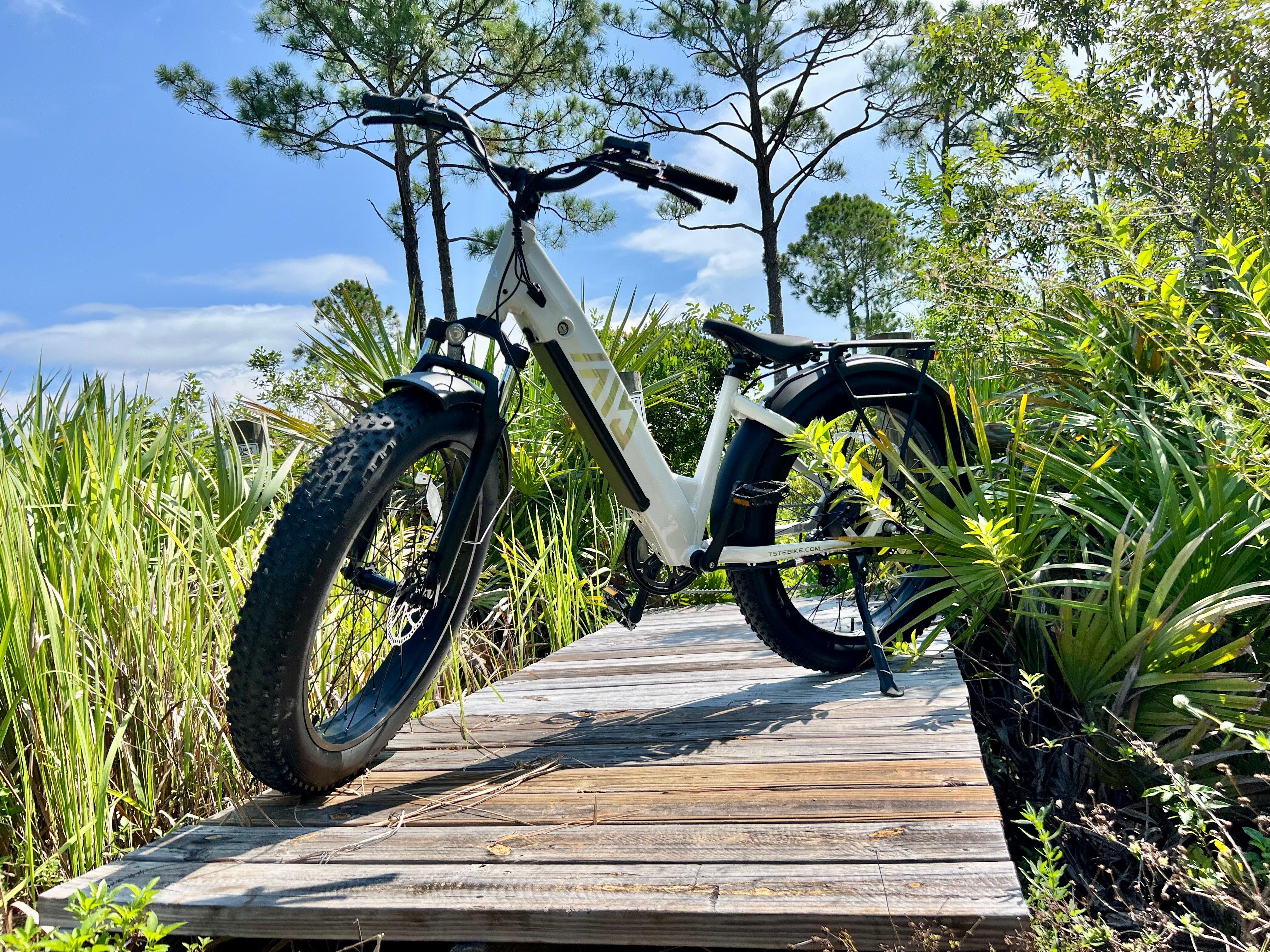
TST EBike’s 26-inch model, with fat tires and a 1000W motor, excels on rough or mixed terrain like forest trails and sandy paths, perfect for routes like Lake Tahoe East Shore. The 27-inch model offers speed and comfort on paved and urban trails, ideal for Erie Canalway and Natchez Trace Parkway rides. Both models provide long battery range and durability for extended autumn adventures.
Why Is Fall an Ideal Season for E-Bike Adventures?
Cooler temperatures reduce rider fatigue, while vibrant foliage creates stunning visual backdrops. Lower humidity and fewer insects enhance comfort. Fall’s moderate weather extends riding season, and the changing scenery motivates exploration. E-bikes assist with hills and longer distances, making fall rides accessible to a wide range of cyclists.
Buying Tips
To prepare for fall foliage rides, consider:
- Choose the right TST EBike model: 26-inch for rough terrain; 27-inch for paved and mixed routes.
- Invest in durable tires: Fat or mountain tires improve traction on wet, leaf-covered trails.
- Ensure sufficient battery range: 48V 15-20Ah batteries support long rides.
- Add lighting and reflective gear: Shorter daylight requires enhanced visibility.
- Dress in layers: Prepare for temperature changes during rides.
- Carry essentials: Water, snacks, and emergency kits for remote routes.
According to a report from Stuffed Puffs and OnePolls, Fall appears to be America’s favorite season with more than a third of 2000 poll participants citing it as their favorite of the year. Even more impressive is 56% of respondents reporting increased happiness in the Fall. The appeal isn't hard to understand: mild weather, the relaxed mood of parents heading back to school, pumpkin spice-everything, and of course, gorgeous fall foliage! Maybe it's also the time of year to visit some of the most scenic routes in the U.S. by e-bike.
We've compiled a list of five of the most picturesque fall e-bike rides in the U.S. Even if these are out of your physical range, they may inspire you to find some picturesque roads and trails near you to get out and enjoy the happiest season America has to offer!
NEW ENGLAND

Location: Western Maine to Eastern New Hampshire
Length: 44 miles (round trip)
Estimated Time to Complete: 3-4 hours
Best Time to Visit: Early October (for peak fall foliage)
Route Type: Paved road, suitable for e-bikes, with rural sections
Detailed Description:
Known as one of the most beautiful maple routes in the United States, this fall ride connects western Maine to eastern New Hampshire. Starting in Bethel, known as “Maine's most beautiful mountain village,” riders follow a flat road north, eventually turning onto North Road, which parallels the Androscoggin River and offers breathtaking views of the White Mountains.
As the ride progresses, the route climbs and eventually reaches Evans Notch, a 1,700-foot pass that offers expansive panoramic vistas, making it an excellent spot to view the red and orange foliage of New England in the fall. Riders may encounter cooler temperatures (around 30°F) in the early morning, but as the sun rises, temperatures can rise to 60°F by late afternoon.
The final portion of the route becomes more remote, so be sure to carry plenty of water, snacks, clothing layers, and a roadside emergency kit. When you return to Bethel at the end of the ride, you can relax with some local ice cream or visit a nearby coffee shop.
New England offers picturesque e-bike routes through vibrant fall foliage. The Lamoille Valley Rail Trail in Vermont provides a 93-mile car-free path with stunning autumn colors. In Maine, the route between Bethel and Gorham offers breathtaking views of the White Mountains during peak foliage season.
Erie Canalway Trail
The Erie Canalway Trail in New York features a 32-mile e-bike-friendly segment from Buffalo to Lockport. This mostly flat trail follows the historic Erie Canal, offering scenic views of changing leaves and landmarks like the "Flight of Five" locks from the early 1800s.

Location: Buffalo to Lockport, New York
Length: 32 miles (one way)
Estimated Time to Complete: 3-4 hours (one way), 6-8 hours round trip
Best Time to Visit: Late October (for peak fall foliage)
Route Type: Mixed (paved and crushed stone), flat, e-bike accessible (Class 1 and 2)
Detailed Description:
There is a 360+ mile long Erie Canalway Trail in Western New York State, and don't be intimidated, we're going to talk about a 32-mile section of it that connects Buffalo and Lockport. Late October is the time to take in some of the best fall colors, and from the Shoreline Trail in Buffal, head east on a mostly paved trail and follow the Erie Canal, one of the most famous man-made waterways.
In addition to the brightly colored foliage, you'll see the incredibly cool-looking “Flying Fives” locks that help transport boats to the bluffs near Lockport. On an e-bike, you can complete the 64-mile round trip in a single day—if your battery allows—or take a break for lunch in Lockport.
Give yourself plenty of time, and you'll want to stop at the various historic sites and iconic lift bridges along the way, says Rebecca De La Cruz of Parks & Trails New York, a nonprofit organization that helps manage and maintain the trail. Remember to wear or bring waterproof clothing, as the area is prone to rain in the fall.
Natchez Trace Parkway
The Natchez Trace Parkway spans 444 miles through Tennessee, Alabama, and Mississippi, showcasing beautiful fall colors from mid-October to early November. Its car-free environment and striking scenery make it a favorite among cyclists seeking a southern autumn adventure.

Location: Alabama, Mississippi, and Tennessee
Length: 444 miles (suggested 32-mile stretch)
Estimated Completion Time: 1-2 days for a round trip on the 32-mile segment
Best Time to Visit: Late October to early November
Route Type: Paved scenic parkway, e-bike friendly
Detailed Description:
Want to experience diverse fall scenery from north to south? The 444-mile Natchez Trace Parkway offers a chance to see different batches of fall colors every day. Starting in Tennessee in mid-to-late October, the parkway winds south through Alabama and Mississippi until early November, providing a continuous display of foliage. The parkway is free of commercial vehicles, making it a perfect route for leaf-peeping. You can even use leaf reports from the National Park Service website to plan your trip and ensure you catch the peak colors along the way.
Well, you may not be planning on riding the entire 444-mile route, and you certainly can. Is there one part worth trying? The Mississippi Flats is located between the Parkway Visitor Center and the Witch's Dance Campground, which is only open to cyclists. The 32-mile flat stretch takes you past Tupelo, Mississippi, the birthplace of Elvis Presley, and then through the scenic Tombigbee National Forest.
There's so much to see along the way, and even though you enjoy the thrill of speeding along in the saddle, stopping to soak up the mesmerizing views or other historical sites is unavoidable. It's also worth noting that there are National Park Service-administered restrooms every 20 or 30 miles, so a park ranger is never too far away if you need help.
Lake Tahoe East Shore Trail
The Lake Tahoe East Shore Trail offers a scenic e-bike ride along the eastern shoreline to Sand Harbor State Park. This under 3-mile trail provides breathtaking alpine lake views, with opportunities to pause for photos, snacks, and even swimming stops along the way.

Location: Nevada/California border, from Incline Village to Sand Harbor State Park
Length: 8.8 miles (round trip)
Estimated Time to Complete: 2-3 hours
Best Time of Year to Visit: Late Fall (October to November)
Route Type: Paved, scenic trail
Detailed Description:
Do you want to enjoy crystal-clear blue water, dramatic cliffs, and mountains with spectacular views all at the same time? The answer is the 8.8-mile Lake Tahoe East Shore Trail, which travels from Incline Village to North Lake Tahoe's stunning Sand Harbor State Park on fully paved bike paths. The trail features flat roads, gentle elevation changes, and no traffic congestion, making it perfect for e-bike riding.
While there is actually a popular all-day self-guided e-bike tour for $139, you can save money and explore on your own. Fall is the best time to visit, and you'll pass secluded beaches, scenic overlooks and coves, taking in the crisp mountain air and the changing colors of the surrounding trees. It’s a relaxing way to spend the day, and you’ll see much more than you ever could traveling by car.
Don’t forget to pack a few snacks and make sure your camera is fully charged—anytime in late fall here will not disappoint your visual appetite. Post your moments along the way on Instagram, and if you'd like, tag us to share in the fun.
June Lake Loop

Location: Eastern Sierra, California
Length: 14 miles
Estimated Completion Time: 1.5 to 2 hours
Best Time of Year to Visit: Mid- to late September
Route Type: Road
Detailed Description:
The June Lake Loop winds through the rugged Eastern Sierra Mountains, offering spectacular views of Carson Peak in the distance. This 14-mile route passes four crystal-clear lakes—June Lake, Gull Lake, Silver Lake, and Grant Lake—as well as the Rush Creek Substation. A slight detour west along Rush Creek Substation Road leads to Agnew Lake and Gem Lakes, nestled in the mountains and providing breathtaking views of the valley below.
The 24-mile loop is a solitary and beautiful journey past these stunning lakes, backed by towering peaks, some of the highest in the West. Known as the Switzerland of California, June Lake features rugged granite canyons, sparkling glacial lakes, and golden aspen groves that captivate outdoor enthusiasts and nature lovers. The clear skies enhance the visual experience.
After your ride, relax at June Lake Brewery or enjoy a meal at O'Hana's 395 food truck, both popular spots among locals and visitors alike.
Get Ready for Fall Rides
To prepare for fall e-bike rides, ensure your bike is in good condition, dress in layers to accommodate changing temperatures, and plan your route ahead of time. Don't forget to check local foliage reports to catch the peak colors during your journey.
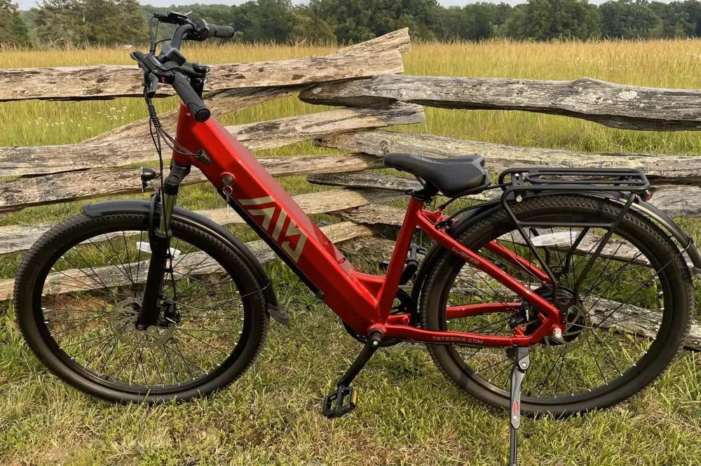
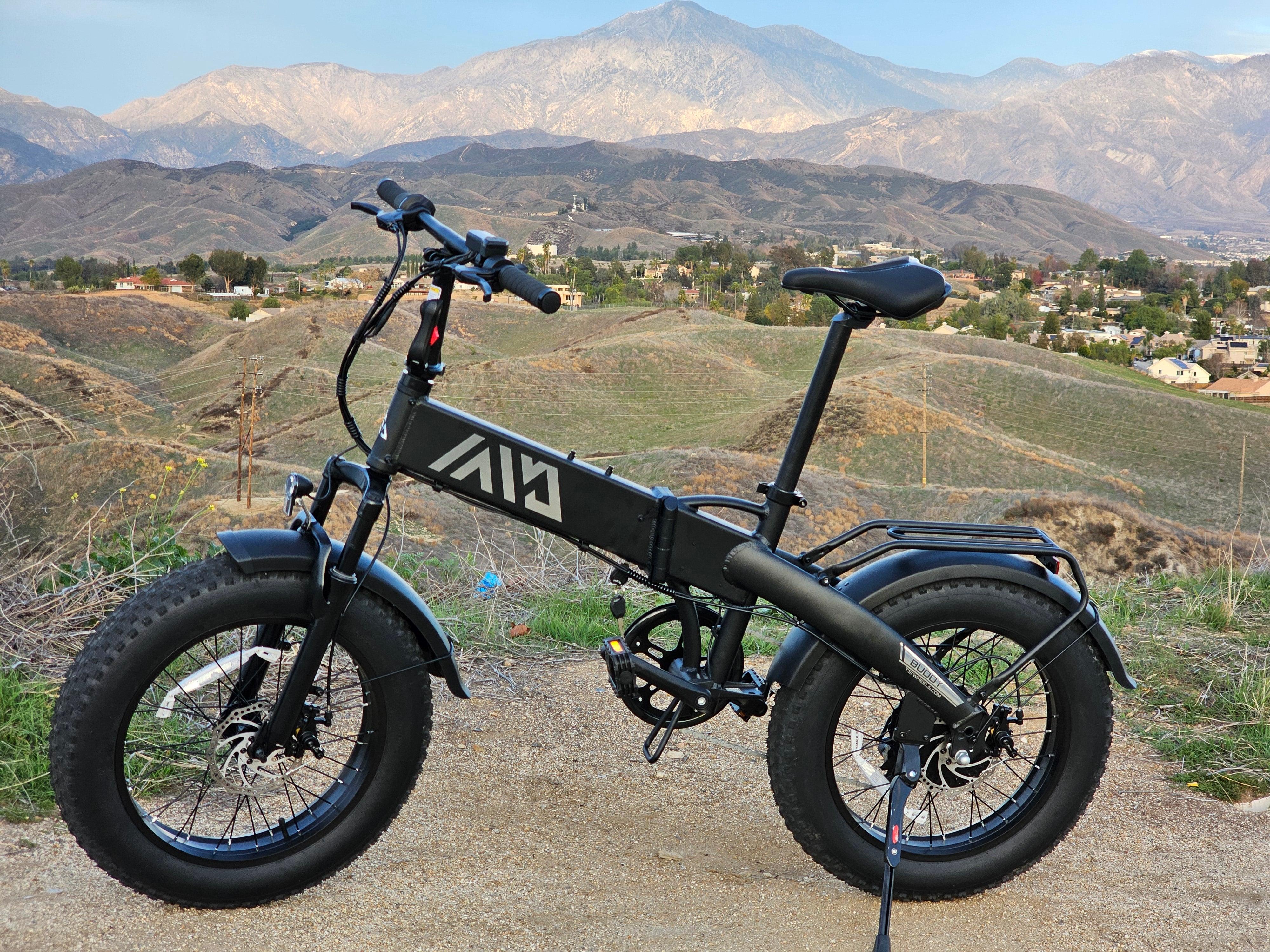
The most anticipated thing about autumn is watching the leaves change color. What better way to experience this natural wonder than on an electric bike? Ready to explore one of these top five electric bike routes this fall? Tag us on Instagram and show us your ride! Don’t have an electric bike? Join TST and click here to find the perfect e-bike for you.
















Leave a comment
All comments are moderated before being published.
This site is protected by hCaptcha and the hCaptcha Privacy Policy and Terms of Service apply.