






Choosing a calmer commute route is not about finding the shortest line on a map — it is about identifying which few segments will actually make or break the ride, then testing those segments before you commit to them on a work morning. Mapping apps are a starting point, not a verdict: a street tagged as "bike-friendly" can still funnel you into an unprotected left turn across three lanes, a bridge with no shoulder, or a trail that closes at dusk. The method below treats route selection as a segment-by-segment audit rather than a single search box, because a handful of difficult transitions — not overall distance — usually determines whether a route holds up on a real commute.
Why Distance Alone Misleads You
Transportation planners who study cycling comfort do not rate a route by its total mileage; they rate it segment by segment using a framework called Level of Traffic Stress (LTS), developed by researchers at the Mineta Transportation Institute and now used by cities including Seattle and Madison to classify their bike networks. The LTS method scores each street or path from 1 (comfortable for children and traffic-intolerant riders) to 4 (tolerable only for confident, "strong and fearless" cyclists), based on factors like the presence and width of bike lanes, number of travel lanes, posted speed, and traffic volume. Seattle's own Bicycle Level of Traffic Stress analysis uses the same logic: it evaluates every road segment in the city on roadway design, traffic controls, and geometric features such as pavement quality and slope, then ranks segments from lowest to highest stress.
The practical lesson for a commuter is that a 6-mile route with one bad half-mile can feel worse than an 8-mile route that avoids that half-mile entirely. Planners also note several stress factors that routing algorithms do not capture well: topography (steep hills), pavement condition, driveway density, heavy vehicle use, and the difficulty of unprotected left turns. Those are exactly the gaps a personal segment audit is meant to fill.
Define Your Own Lower-Stress Indicators First
Before opening any app, decide what "lower stress" means for you, in terms you can actually observe on the ground. Two riders with the same commute can reasonably choose different routes because their tolerance for different risks is not the same. Useful, observable indicators include:
-
Physical separation from motor traffic — a curb, planter, or parked-car buffer, not just paint.
-
Number of unprotected crossings of streets carrying significant traffic volume.
-
Presence of a marked bike lane versus a "sharrow" (a painted arrow indicating shared lane use, which offers no physical protection).
-
Posted speed limit and number of through-traffic lanes on each segment, since higher speeds and more lanes both raise stress independent of bike-lane presence.
-
Lighting and sightlines after dusk, if any part of your commute happens in low light.
-
Surface type and condition — gravel, unmaintained natural-surface trail, or broken pavement versus paved, swept path.
Write these down as your personal checklist. They become the criteria you apply to every candidate route and every difficult segment, rather than a vague sense of "this felt fine" or "this felt scary."
Generate Two or Three Real Candidates
Start with a current city or county bicycle map rather than a single app suggestion. Seattle's Department of Transportation publishes an interactive Bike Web Map showing bike lanes, protected facilities, multi-use trails, and sharrows, and states the map is updated with the most current information SDOT has available — but also notes that riders are responsible for judging actual pavement and traffic conditions in real time, since the map does not guarantee the condition or fitness of any route shown. Cross-check that map against a second source, such as your county's bicycle program page or a regional advocacy group's route data, because facilities open, close, or degrade between map updates.
From those sources, sketch two or three candidate routes rather than one: typically a short, more direct route through denser traffic; a longer route that trades distance for more separated infrastructure; and, where available, a hybrid that mixes a calmer arterial with a short unavoidable busy segment. Routing apps such as Google Maps' bicycling layer, Apple Maps' "avoid busy roads" option, and dedicated tools like RideWithGPS can generate these alternatives quickly and show elevation and heat-map data from other riders. Treat every suggestion as a planning aid, not a verdict — app routing can be outdated or simply wrong about a lane's current status, and none of these tools carries legal or safety authority over what you may ride on.
Identify the Segments That Will Actually Decide the Route
Once you have candidates, stop comparing them as whole routes and start comparing their worst individual segments — the transitions most likely to make a route unusable regardless of how pleasant the rest of it is. For each candidate, walk or drive the route on a map (then verify key points in person) and flag:
-
Bridges and highway ramps with no shoulder or bike lane, where you may be forced into a full traffic lane.
-
Unprotected left turns across multiple lanes, a stress factor that most routing algorithms underweight.
-
Door-zone segments — bike lanes running directly beside parked cars, where an opened door can force a sudden swerve into traffic.
-
Steep descents, especially ones that end in an intersection or blind curve, since grade materially affects both stopping distance and how much attention you have left for surrounding traffic.
-
Missing facilities — a bike lane or trail that simply ends, dropping you into mixed traffic with no advance warning on the map.
-
Low-visibility areas — underpasses, unlit trail sections, or streets without pedestrian-scale lighting, relevant only if part of your commute falls outside daylight hours.
A route with one manageable rough segment and a workable alternative around it can beat a route that looks calmer on paper but has no way to bypass its single worst point.
Route Comparison Worksheet
Use a simple table to compare candidates side by side. Fill in only what you can verify from the map and your own scouting — mark anything uncertain rather than guessing.
Deliberately, this worksheet has no single combined "safety score." Compressing distance, crossing count, lighting, and surface quality into one number hides exactly the trade-off you need to see — a route can be short with one dangerous crossing, or long with none, and only you can weigh which one matters more for your own risk tolerance and schedule.
Check Access Rules Before You Assume a Path Is Open to You
Routing apps are planning tools, not legal authorities, and several categories of e-bike are restricted from paths and sidewalks where an ordinary bicycle is allowed. In Washington State, e-bikes are classified into three tiers under RCW 46.04.169: Class 1 (pedal-assist only, motor cuts off at 20 mph), Class 2 (adds a throttle, same 20 mph cutoff), and Class 3 (pedal-assist to 28 mph, requires a speedometer). Under RCW 46.61.710, sidewalk operation of a Class 3 e-bike is unlawful except where there is no alternative as part of a bicycle or pedestrian path, or where a local ordinance specifically authorizes it — and the same statute bars e-assisted bicycles generally from trails specifically designated as non-motorized with a natural-surface tread, unless the local land manager allows it. The City of Bellevue confirms this pattern locally: Class 3 e-bikes are not permitted on its trails, sidewalks, or paths and must be walked through those areas, while Class 1 and 2 e-bikes may use paths, shoulders, general-purpose lanes, sidewalks, or bike lanes depending on what best suits rider safety. Class 3 riders must also be at least 16 years old under Washington law.
None of this is settled nationally — classification, sidewalk rules, and trail access vary by state, county, and even by trail manager within the same city, and rules change. Before finalizing a route, confirm the exact class of the e-bike you plan to use, then check the current ordinance for each jurisdiction and trail segment your route crosses — city transportation department, county parks department, or the specific trail's managing agency — rather than relying on a routing app's "bike-friendly" label as proof that a facility is open to your bike class. Shipping a bike to your address or a store carrying it locally is not proof of where it is legal to operate on public streets, sidewalks, or trails.
Test Every Candidate Before You Commit
A route that looks workable on a map still needs an actual trial run, ideally at low-traffic times such as early weekend mornings, before you rely on it for a weekday commute. During the test, record:
-
Door-to-door time, not just moving time — include waits at signals, the walk-your-bike moment on the sidewalk exception, and any stop to check a confusing junction.
-
Bailout points — cross streets, transit stops, or parallel calmer streets where you could exit the route early if a segment turns out worse than expected in person.
-
A workable backup route or backup segment for the single riskiest transition you flagged earlier, so a bad experience on one ride doesn't strand you without an alternative for the next one.
Ride each candidate at least once in full before choosing, since a segment that looks fine aerially can turn out to have a blind driveway, inconsistent lane markings, or a school-zone speed reduction that only shows up at certain hours. Selecting a route is really selecting the worst segment you're willing to ride regularly — if that segment remains manageable on a calm test morning, the rest of the route is unlikely to be the limiting factor.
Where Your Bike Choice Fits This Decision
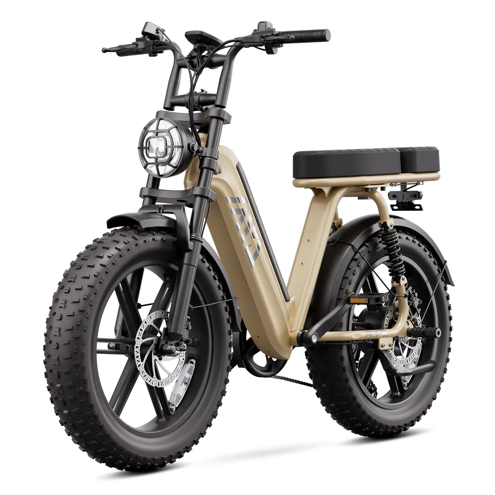
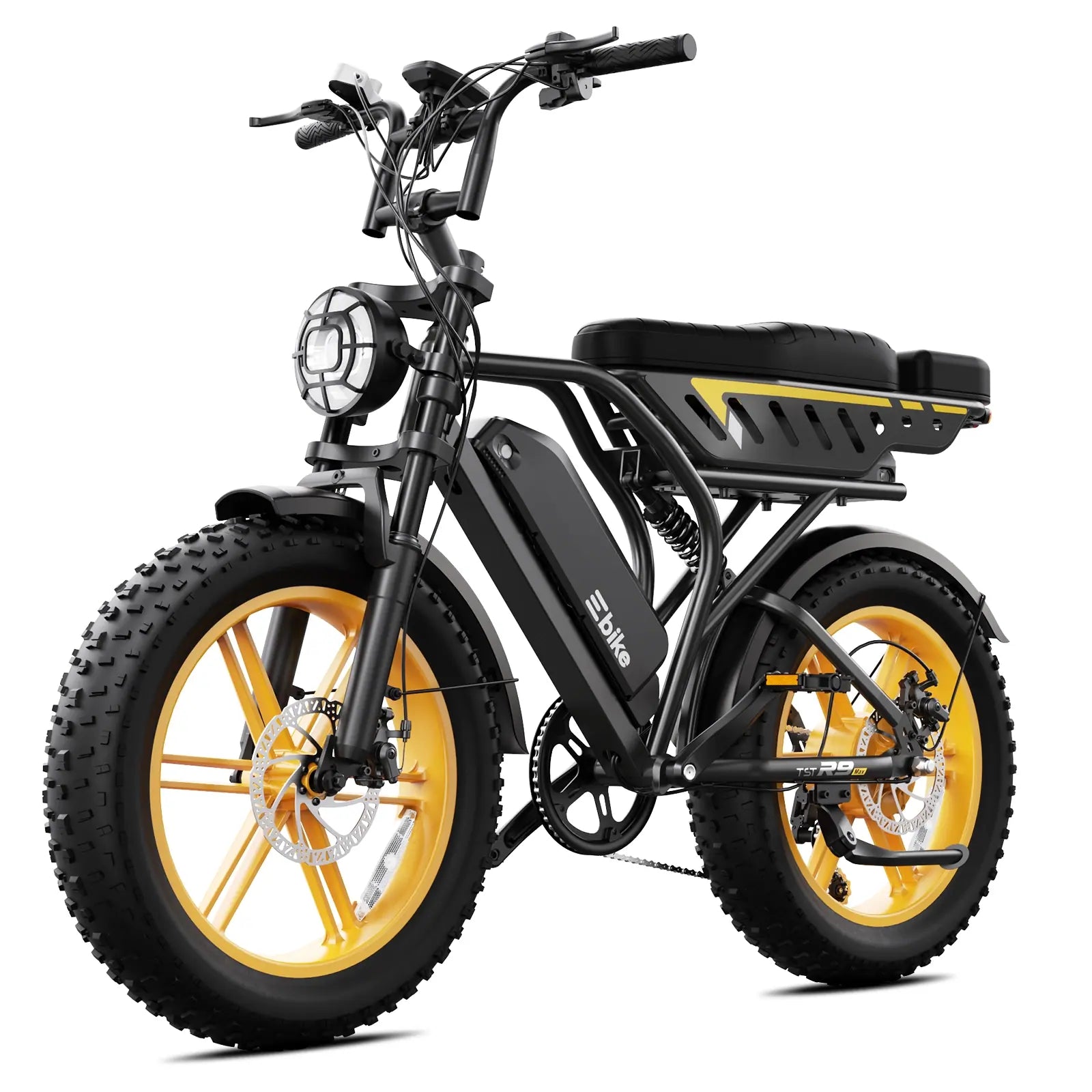
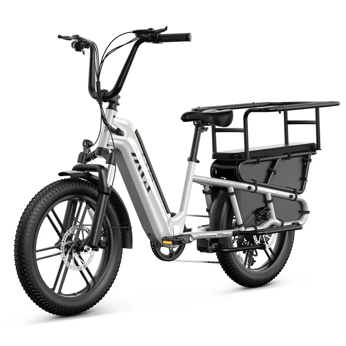
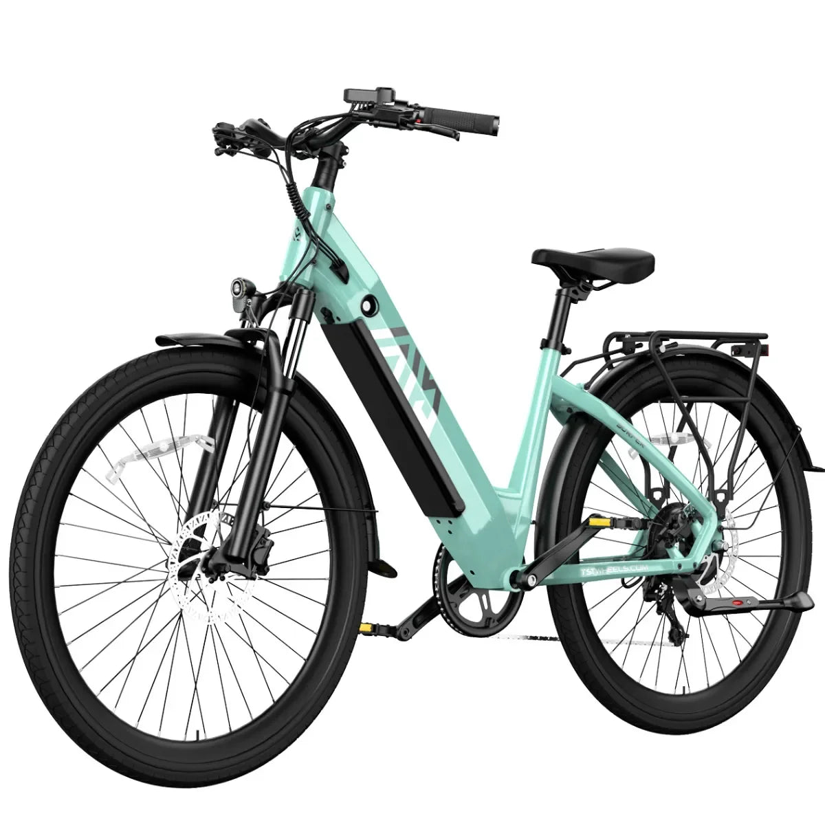
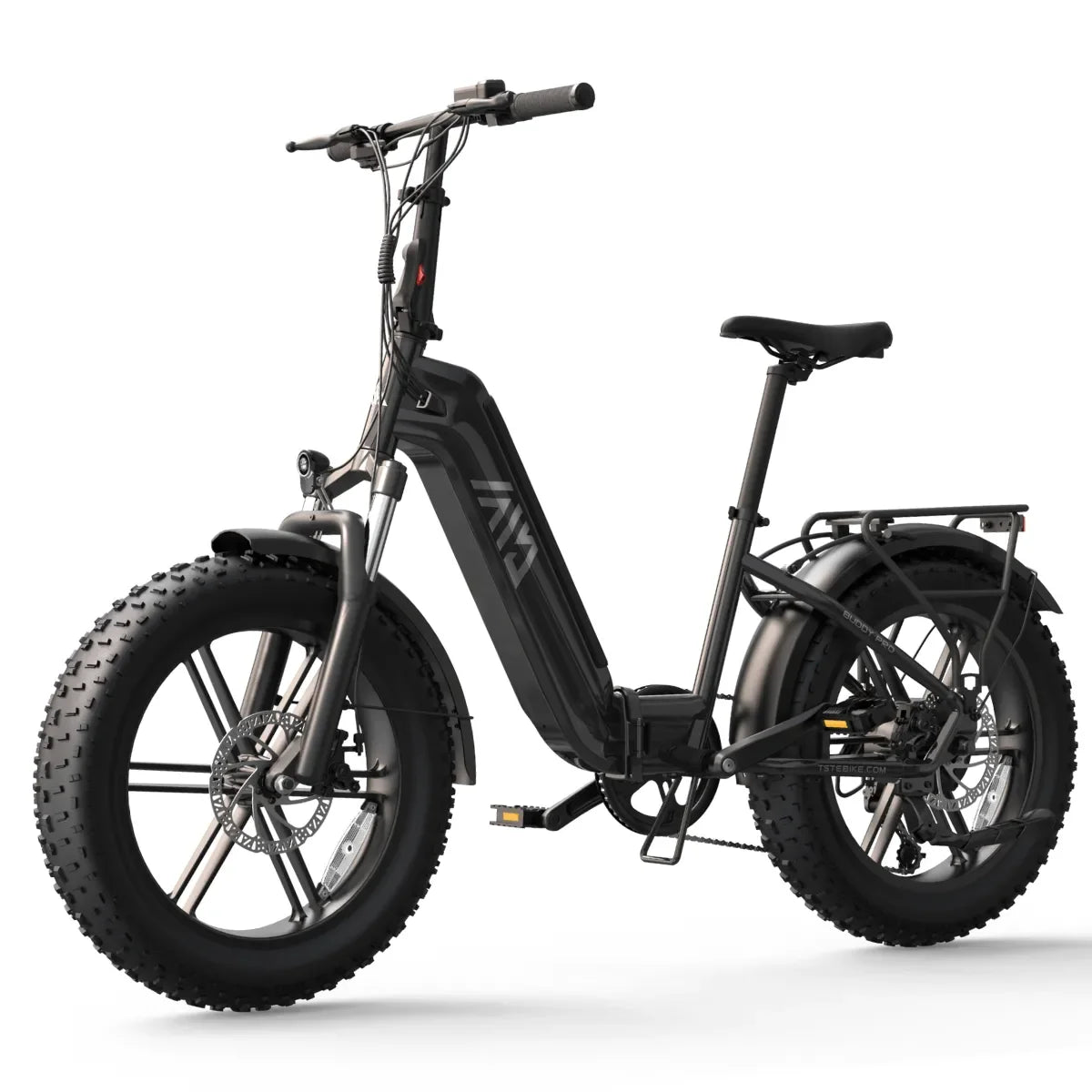
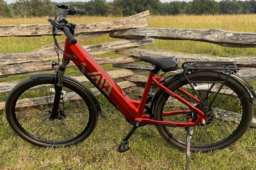
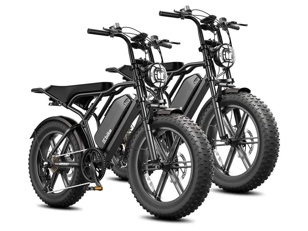
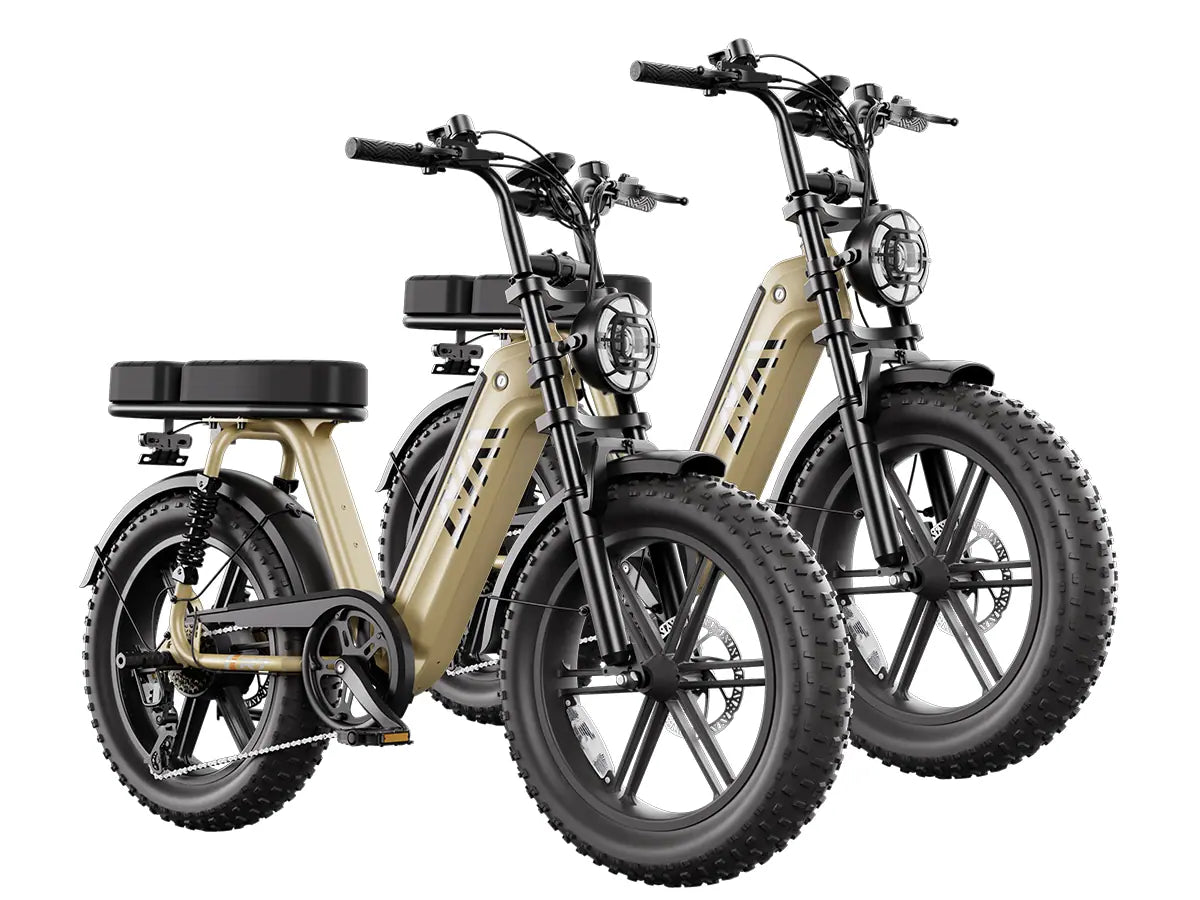
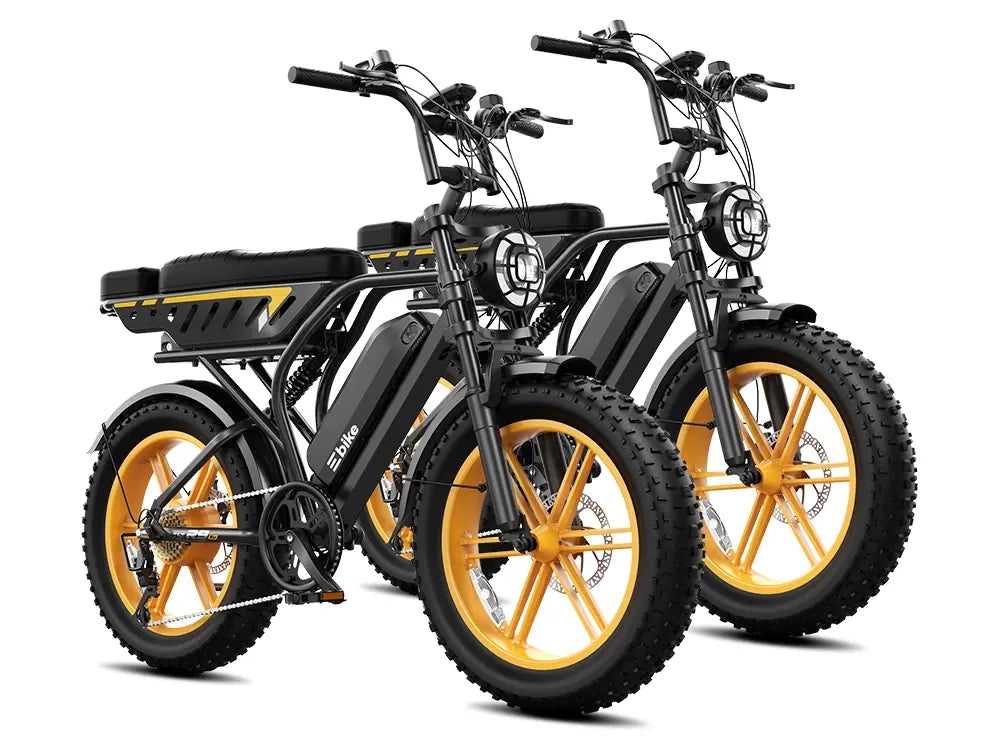
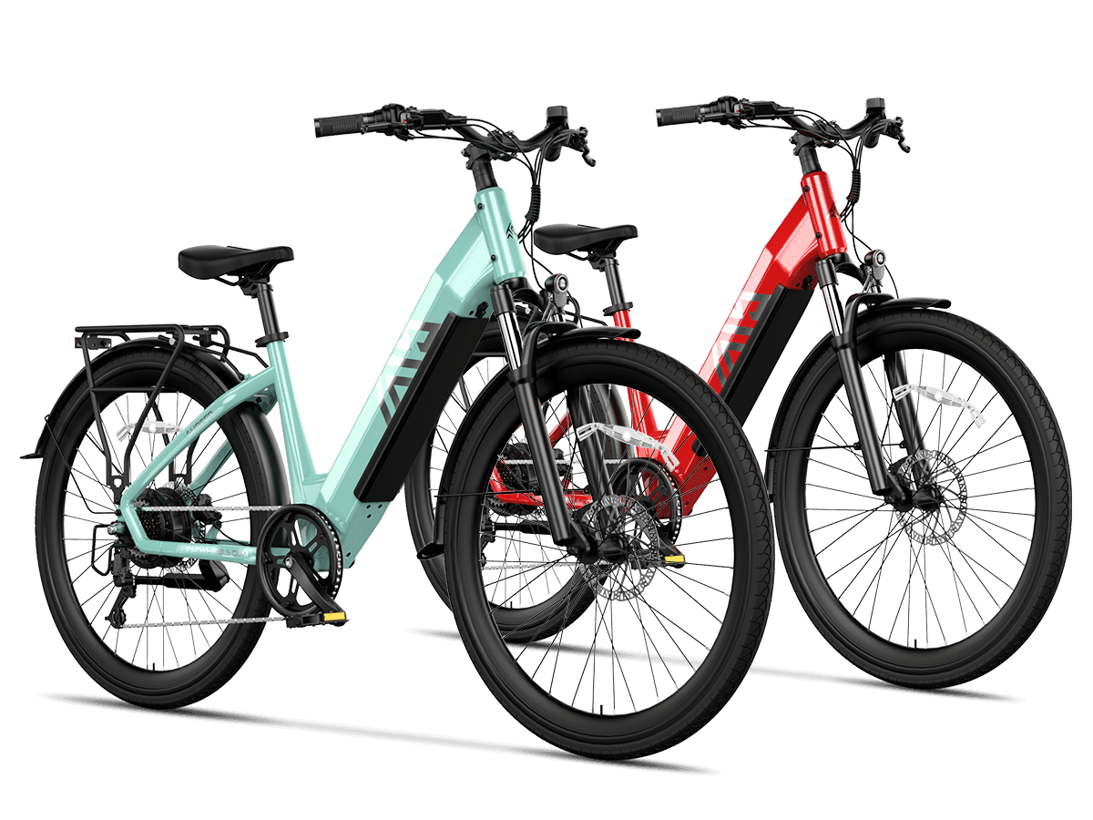
Route planning and bike selection inform each other but solve different problems. Once you know your route's real constraints — total distance, grade on the steepest climb, surface condition, whether you need to carry cargo or a bag, and where you'll store or fold the bike at each end — those constraints narrow which commuter e-bike specifications actually matter for your ride, such as tire type for a route with gravel or debris, or a step-thru frame if you're dismounting frequently at crossings. TST's commuter e-bike collection lists current models, frame styles, wheel sizes, and specifications; verify the exact class, motor rating, and legal status of any specific model against your jurisdiction's e-bike rules before assuming it fits every segment of the route you've tested. No bike model makes a route itself safer — only the physical separation, sightlines, and traffic exposure of the segments you ride do that.

Leave a comment
This site is protected by hCaptcha and the hCaptcha Privacy Policy and Terms of Service apply.